
🥶 COLDER WEATHER BRINGS FROST AND FREEZE THREATS TO EASTERN KENTUCKY THIS WEEKEND
Appalachia Insider · November 6, 2026
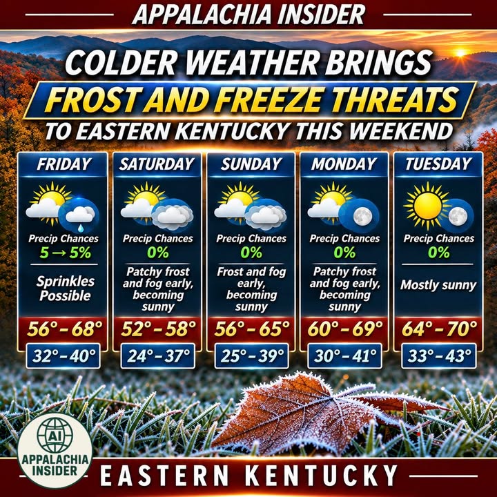
Eastern Kentucky is in for a chilly weekend as a cold front moves through the region Friday, November 6, bringing cooler temperatures and the possibility of light rain.
According to the National Weather Service in Jackson, a second surge of colder, drier air will follow, bringing widespread frost and the potential for freezing temperatures this weekend.
🌤️ FIVE-DAY FORECAST:
• Friday: Partly cloudy with a few sprinkles possible. Highs 56–68°.
• Saturday: Early frost and fog, then sunshine. Highs 52–58°. Lows 24–37°.
• Sunday: Frost and fog early, becoming sunny. Highs 56–65°. Lows 25–39°.
• Monday: Mostly sunny after early frost and fog. Highs 60–69°.
• Tuesday: Mostly sunny and warmer. Highs 64–70°.
Residents should prepare for freezing temperatures in colder valleys and sheltered hollows, particularly Saturday and Sunday mornings.
Temperatures are expected to gradually rebound early next week.
Source: US National Weather Service Jackson Kentucky
#AppalachiaInsider #EasternKentucky #KentuckyWeather #Frost #Freeze #WeatherForecast