
🥶 FREEZING NIGHTS, WARMER DAYS, AND ANOTHER COLD FRONT HEADED FOR EASTERN KENTUCKY
Appalachia Insider · November 8, 2026
Eastern Kentucky is in for a stretch of changing temperatures this week, with freezing nights giving way to warmer afternoons before another cold front arrives.
According to the National Weather Service in Jackson, frost and freezing conditions are possible in valleys and low-lying areas each night through Tuesday morning.
🌡️ Here’s the forecast:
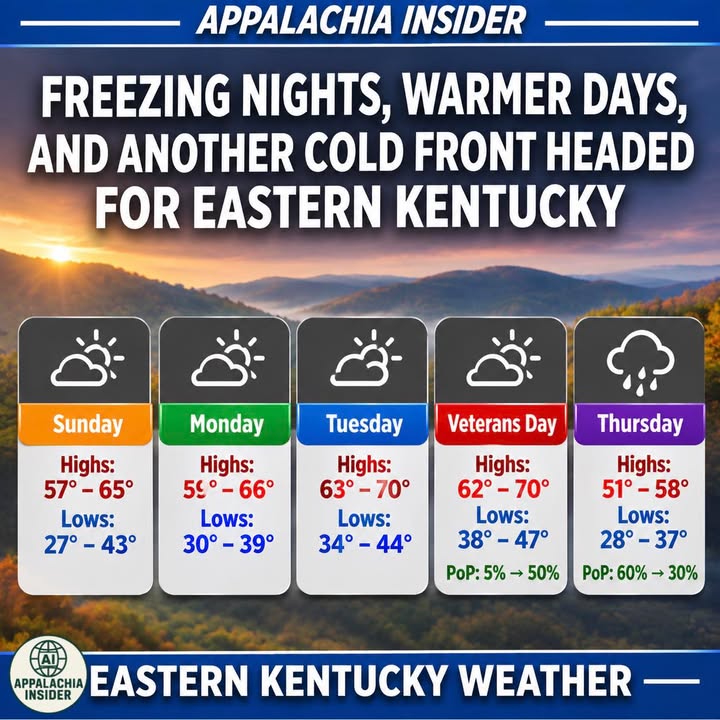
🌤️ Sunday: Highs 57–65°, lows 27–43°
🌤️ Monday: Highs 59–66°, lows 30–39°
☀️ Tuesday: Highs 63–70°, lows 34–44°
🌤️ Wednesday (Veterans Day): Highs 62–70°, lows 38–47°, with rain chances increasing Wednesday evening.
🌧️ Thursday: Highs 51–58°, lows 28–37°, with rain possible and much colder air moving into the region.
Dry conditions are expected through much of Wednesday before a cold front brings increasing rain chances Wednesday evening into Thursday.
Residents should continue protecting sensitive plants and outdoor plumbing during overnight freezing conditions.
Source: US National Weather Service Jackson Kentucky
#AppalachiaInsider #EasternKentucky #KentuckyWeather #ColdFront #FrostAdvisory #EKYWeather